 Narrowsburg
Light Rain Fog/Mist, 43°
Wind: 8.1 mph
 Narrowsburg
“People have to be put above frogs and lizards and snakes,” said David Dean, Town of Deerpark representative to the Upper Delaware Council (UDC) during a discussion about wetland mapping at the …
Stay informed about your community and support local independent journalism.
Subscribe to The River Reporter today. click here
This item is available in full to subscribers.
Please log in to continue |
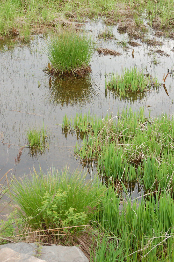
“People have to be put above frogs and lizards and snakes,” said David Dean, Town of Deerpark representative to the Upper Delaware Council (UDC) during a discussion about wetland mapping at the UDC’s monthly meeting on May 3. “This is going to devastate private property rights, private property values and municipalities’ ability to assess,” he continued.
Triggering the talk was the approaching completion of the New York State Department of Environmental Conservation’s (DEC) Wallkill Wetland Mapping project, which was funded by an EPA grant targeting the Wallkill Watershed and including most of Orange County and small portions of Sullivan and Ulster counties.
William Rudge of the DEC explained that state legislation passed in the ‘70s, which created the Environmental Conservation Law, Article 24, commonly known as the Freshwater Wetlands Act, requires DEC to map and protect wetlands greater than 12.4 acres. “Now that we’ve re-mapped that area, the next logical step would be to undertake a map amendment to make existing maps that we use to regulate NYS wetlands more accurate for everyone,” he said.
DEC is still reviewing the maps and has not yet decided whether to move forward with the amendment process. The DEC jurisdiction, based on the 12.4-acre threshold, differs from that held by the Army Corps of Engineers (ACE), which regulates wetlands down to an acre or less.
“How does the re-mapping affect the private landowner?” asked Town of Lumberland representative and UDC chair Nadia Rasjz. “Even though they own the land, would they be unable to utilize it?”
“If a wetland is protected, you have to get a permit to do anything in it, whether it’s an ACE or a DEC wetland,” explained Rudge. “The legislation includes a 100-foot buffer around every regulated wetland.”
In response to concerns about identification of the increased wetland acreage, Rudge pointed out, “We’re not creating these wetlands; they already exist. If we’re going to assume jurisdiction for their protection, the law outlines a process whereby every landowner that’s affected by this change would have to be notified.”
While DEC mapping relies primarily upon aerial photography and field checks, the agency is required by law to delineate wetlands on the ground for any landowner who requests it.
“The law is structured such that it tries to get people to avoid building structures or otherwise affecting the wetland because the value of wetlands is many-fold,” said Rudge, who cited absorption of heavy rain events, purification of water resources, restoration of water tables and preservation of wildlife habitat.
In addition to notifying landowners, DEC must also hold public meetings in areas where changes are proposed to the maps. “The department cannot take jurisdiction over a wetland that has not been mapped, and the maps have to be filed in the town in which the property lies and in the county,” added Rudge.
Dean said he has reviewed the maps and estimates they will identify an additional 16,000 acres of wetlands in Orange County. He questioned the impact on property values.
“There is a process for homeowners to go to their local assessor to grieve their assessment and reduce their tax liability,” said Rudge.
Rasjz asked whether the mapping would affect the river valley.
“There likely are new wetlands in the river corridor that will eventually be mapped,” he said.
The UDC meets at 7 p.m. on the first Thursday of every month at 211 Bridge Street in Narrowsburg. The public is welcome. For more information visit www.upperdela warecouncil.org or call 845/252-3022.


Comments
No comments on this item Please log in to comment by clicking here